Bridging the gap to facilitate selection and image analysis activities for land surface monitoring
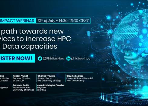
Thank you for joining the 3rd PHIDIAS series of use case on dedicated to its use case 2: Big Data Earth Observation (EO).
Watch the recorded webinar.
Presentation slides
Optical and radar images observing the Earth's land surface have become an essential source of information to address and analysis environmental issues. The diversity of Earth observation sensors make it possible to provide new insights into environmental monitoring. But as many recent diagnoses have shown, satellite imagery for environmental monitoring purposes is particularly underutilized by the land and natural resource management communities, the high level of technology and the need for digital resources required to use satellite imagery are the main reasons for this. In other hand THEIA scientific expertise centres have designed and implemented proof of concept of prototypes of new algorithms that meet the information needs of environmental monitoring stakeholders, such as land cover, soil moisture or natural vegetation Biomass.
The PHIDIAS project is a real opportunity for the scientific community, land managers and agriculture to take advantage of HPC architecture to facilitate selection and image analysis activities for land surface monitoring. The contribution of state-of-the-art computing and storage capacities associated with the new collaborative and interactive environments and the implementation of open and FAIR dissemination principles will respond to the main bottlenecks identified:
- Bridging the gap between the academic production of algorithms and their exploitation by user communities in the public or private sector,
- Agile access to computing and storage resources enabling the deployment of interactive and collaborative user environments.
Responses to the challenges and barriers will be illustrated by work around the scientific processing chain to map soil moisture at plot level. We will present the approach that aims to industrialize this chain to carry it in an HPC environment. We will also present the work that aims to build an interactive and collaborative environment offering end users on-demand production of maps. These proposals take advantage of technological advances to access data and deploy processing chains based on web architecture and computing resources provided by national data centres.
Agenda:
15:00 - 15:05 Introduction - Francesco Osimanti, Trust-IT Services, PHIDIAS WP7 Leader
15:05 - 15:15 Challenges and barriers to the availability of on-demand processing services for the land surface community - Jean Christophe Desconnets, IRD, WP5 Leader
15:15 - 15:25 From processing chains prototyping to HPC-based on-demand services: the example of Soil Moisture Service - Cyprien Alexandre, IRD, Scientific Partner
15:25 - 15:30 Q&A Session
15:30 15:30 Online and on-demand processing of satellite images: Web Processing Service, the missing link in the chain - Gérald Fenoy, Geolabs, Technical Partner
15:40 15:50 Notebook and Datacube: an original approach for exploiting and analysing environmental big data within HPC/HPDA environments - Dorian Ginane, Geomatys, Technical Partner
15:50 - 16:00 Q&A and Closing Remarks